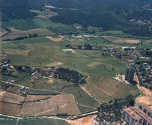
Previous state
The peak of El Turonet, crowned by the pinewood, and the old pines of Les Fontetes clearly show the woodland origins of this site which formed an integral part of the Collserola landscape.Subsequently, part of the hill was used to grow vines and this continued until well into the 20th century. From the beginning of this century, Cerdanyola took on great importance as a summer-holiday resort. Building on El Turonet had the characteristics of a garden city, and began in the twenties, stretching from the top to the north and east sides of the hill and consisting of a number of summer holiday homes.
The development known as the Urbanización Ensanche de Sardañola was built later, in 1943, with the approval of the County Plan. In 1953, building on El Turonet continued to grow with shacks and sub-standard houses, built by the first incomers who arrived before the large-scale wave of immigration in the sixties and seventies.
There was a big pinewood and snack bar opposite the park.
From the beginning of the century, this spot had been one of the most popular recreational areas in Cerdanyola. In the forties, the Les Fontetes municipal park was built there; it was demolished twenty years later to make room for blocks of flats.
Aim of the intervention
In 1968, approval was given to the first project for creating the Canaletes housing scheme for 30,000 people, on the southern side of the hill. A 14-storey show-building, which still exists today, was built on the Passeig d'Horta.The Altemira housing scheme was also planned on the site of the park. Both projects were halted by strong opposition from the residents. At the end of the eighties the development of Canaletes was given a new impetus. In 1993, an agreement was signed between
AMB, IMPSOL and the Municipal Council to build housing of much lower density and lower rise than that envisaged in the original project. In recent years, before the park existed, the area, as a wide open space, began to take on a recreational and public character, with a diversity of ill-defined uses (fairground attractions, big tops, open-air concerts, etc.)
Description
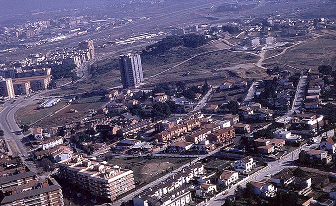
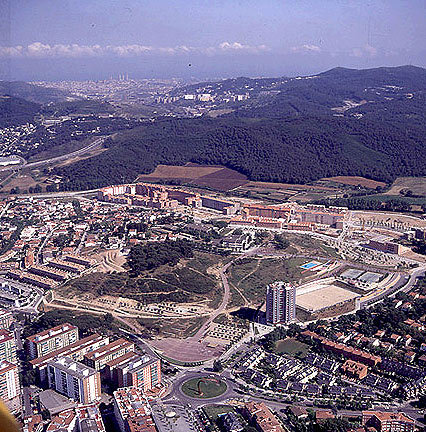
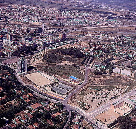
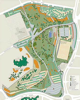
The park, located south-east of the centre of Cerdanyola, is part of the districts of Altimira, Canaletes and Turonet and is bounded by those of Les Fontetes and Guiera. It is located at a strategic point at the endtrance to the city, between developed areas and roadways. To the north it faces the Ronda de Cerdanyola; to the south, the Canaletes estate; to the west, the Passeig d'Horta; and to the east, a more natural area of the hill and the Forat del Vent Institute.The Turonet is an open park where the landscape is always present. A ring road, where different urban activities take place, surrounds the central zone: a large patch of green which stretches towards the top of the hill. A main pathway crosses the Turonet from north to south, from the Plaça de l’Estatut to the Canaletes development. Along the route, alternative pathways lead to the different areas of the park. This network of pathways, besides providing a setting for peaceful walks, orders the movement of people generated by the surrounding amenities.
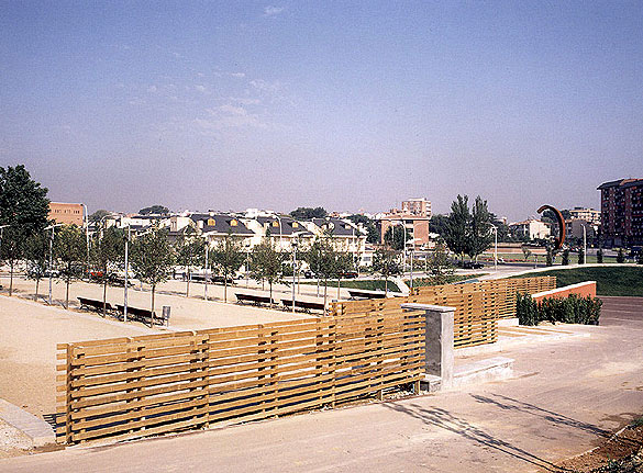
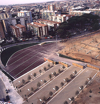
The side of the Ronda de Cerdanyola is the most urban and most active area in the park. The large esplanade for public activities is located at the main entrance, by the Plaça de l’Estatut.
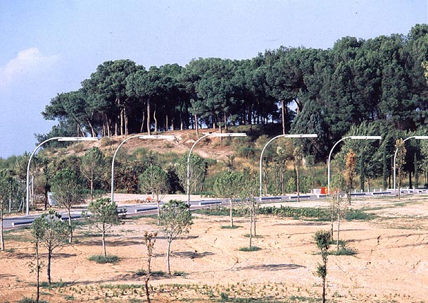
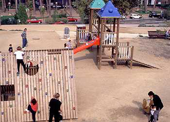
A number of plant species, including a wide variety of deciduous plants, gives shade to the different gravel areas, prepared for visitors with children’s games, sports tracks and courts, and rest areas. There is a big field planted with trees and shrubs, which adapt to the slope of the land and seek to create a Mediterranean woodland which will link up with the most natural part of the mountain.
At the top, opposite the Institute, two triangular squares, surrounded by olive trees and poplars, afford fine panoramic views of Collserola.
Assessment
The park is located in a place which, in the space of a few decades, has gradually lost its natural characteristics, and where the space of the park, saved from the pressure of building, comprises a valuable green lung and an important recreational area. The park also caters to an important need for green spaces with amenities (swimming pool, the Institute's sports tracks and courts). The Association of Muncipalities envisages the expansion of the park to the pinewood on top of the hill at some stage in the future.[Last update: 02/05/2018]