
A peripheral area of surprisingly well conserved natural richness has been made accessible to Londoners so that they will discover it, learn to love it and protect it from the probable depredations of urban sprawl.
[Juulia Kauste, Director of the Museum of Finnish Architecture (MFA) | Duration: 01:48]
TECHNICAL SHEET
Authors: Peter Beard_LANDROO M | Peter Beard, Alexander Gore, Sabba Khan, Dingle Price, Gregory Ross, Mark Smith, Keita Tajima
Country: United Kingdom
Surface: 6.400.000 m2
Cost: 6.000.000 €
Project: 2003
Work: 2006
End of work: 2014
DESCRIPTION
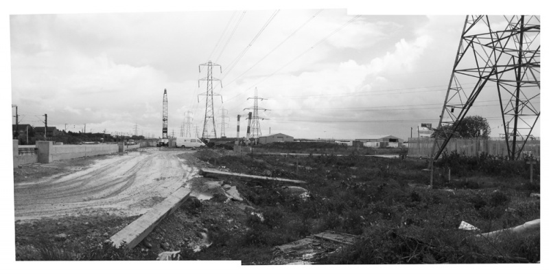
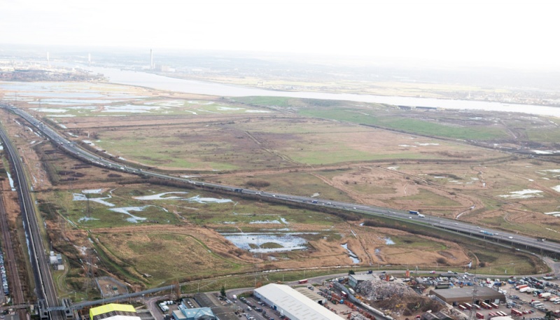
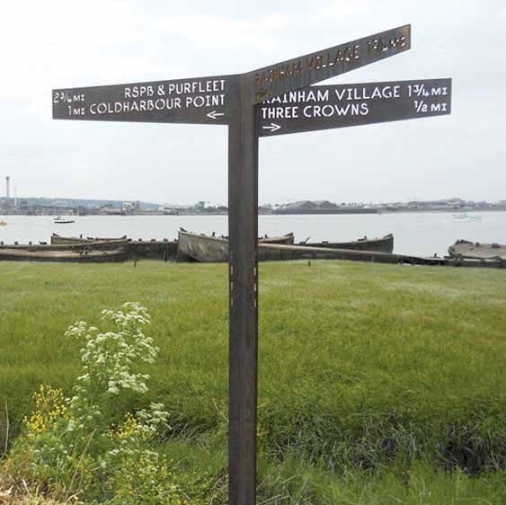
Rainham Marshes, on the eastern edge of London constitute the largest floodplain to the north of the Thames estuary. They take in the towns of Purfleet and Thurrock, as well as Rainham suburb, which belongs to the London Borough of Havering. Despite their proximity to Europe’s largest metropolitan area, the marshes still conserve many of the traditional features that characterised them in the Middle Ages, when they were used for grazing sheep and cattle. Since they are also home of a great diversity of migratory birds and rare plants, they have been given the highest level of habitat protection designation in the United Kingdom. If this zone survived the typical environmental devastation caused by industries and infrastructure on city outskirts, it is because it was a firing range belonging to the British Army until 2000, when it was acquired by the Royal Society for the Protection of Birds (RSPB) and the London Borough of Havering.
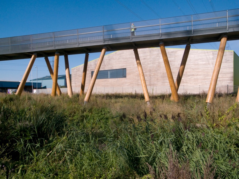
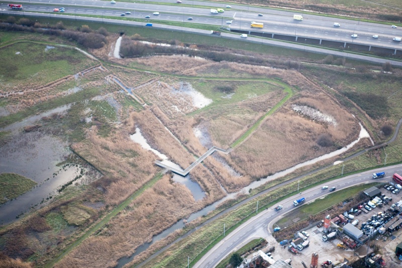
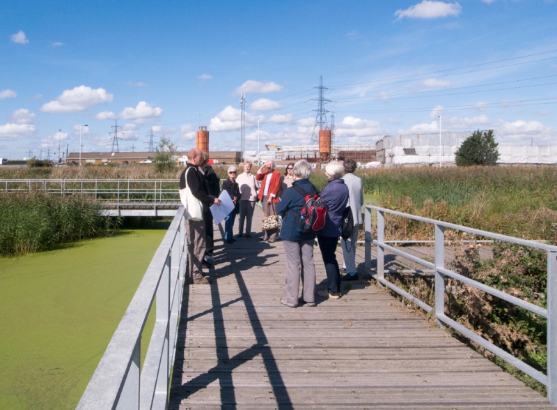
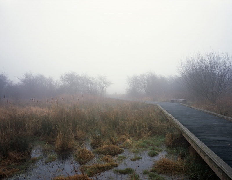
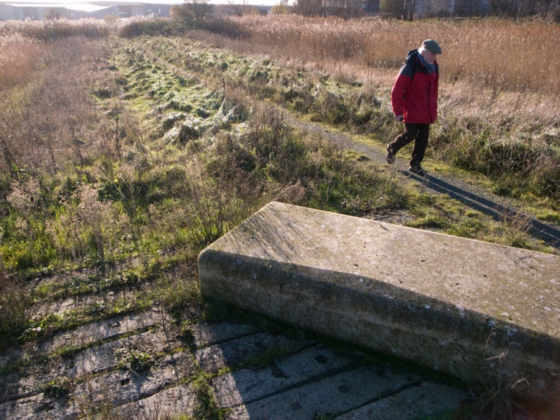
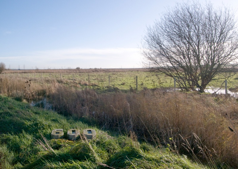
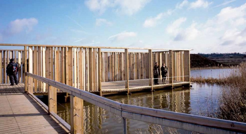
In 2006, as the marshes were opened to the public, a series of interventions was underway with the aim of improving accessibility. In the centre, earth was moved to fill an old rubbish tip and create a silt lagoon, while the wetlands remain at both sides. The western ones, crossed by six footbridges in weathering steel and connected with Rainham suburb by the Trackway Bridge, are once again used for grazing. At the eastern ones, near Purfleet, the landscape is mainly doted by reed-beds and overseen by an RSPB bird-watching lookout. Several sculptural elements in Portland stone have been placed in different parts of the marshes, to be used as benches or to evoke the military past of the zone.
Since they were opened up, these wetlands have found a new place in the public imagination of Londoners, who can now enjoy wild nature near the city. Some criticism has been voiced about the introduction of excessively anthropic elements which may distort the real experience of a truly wild landscape. It has also been noted that high levels of public access may irreversibly interfere with the delicate environmental balance of the place. However, accessibility is the necessary condition for people discovering, learning to love and defending these marshlands which, otherwise, would not last long.
David Bravo, architect