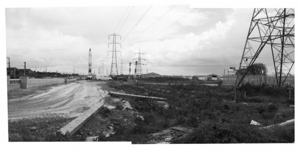

Previous state
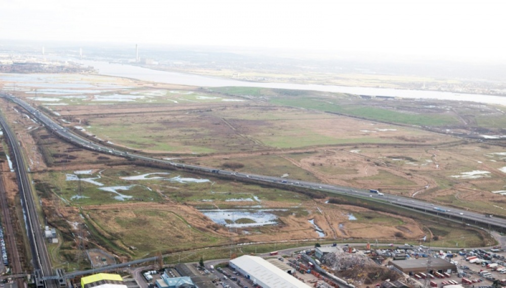
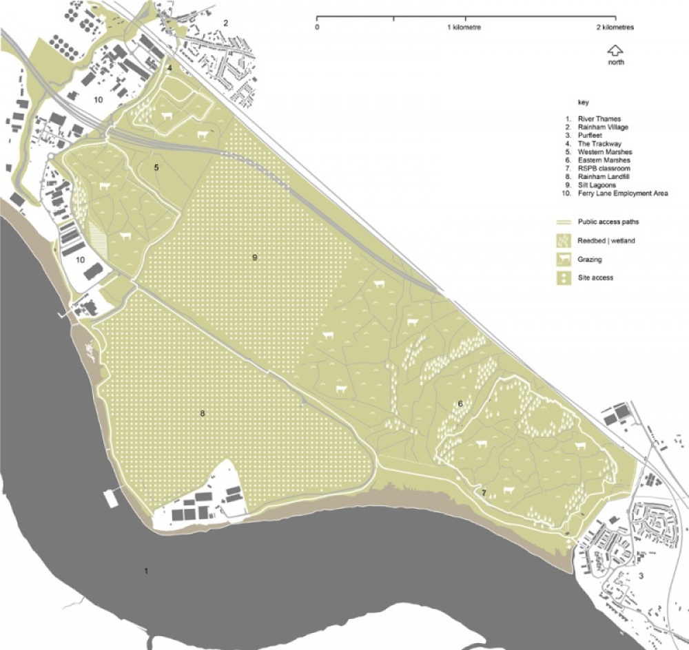
Rainham Marshes are the largest wetlands to the north of the Thames estuary. They lie on the eastern edge of London and belong to the London Borough of Havering, which takes in Rainham village, source of the marshes’ name. Despite their proximity to Europe’s largest metropolitan area, the marshes still conserve many of the traditional features that characterised them in the Middle Ages, when they were used for grazing sheep and cattle. Since a conservable diversity of migratory birds and rare plants are found there, they have been given the highest level of habitat protection designation in the United Kingdom. If this zone survived the typical environmental devastation caused by industries and infrastructure on city outskirts, it is because it was a firing range belonging to the British Army until 2000, when it was acquired by the Royal Society for the Protection of Birds (RSPB) and the London Borough of Havering.
Aim of the intervention
In 2006, by which time a series of interventions was underway with the aim of improving accessibility, the marshes were opened to the public. First, the project of preserving and protecting the natural richness of the site was deemed necessary and, second, it was hoped to offer Londoners contact with nature by making the marshes accessible for all kinds of visitors. With these goals in mind, and with help from the European Union Regional Development Fund, the Greater London Authority, several municipalities and the RSPB worked together on a project representing an investment of six million euros.
Description
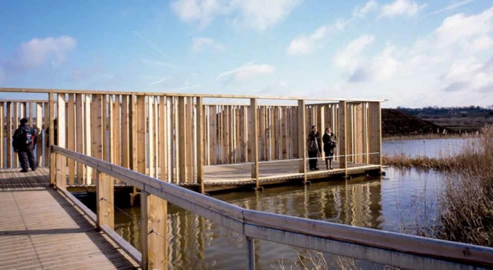
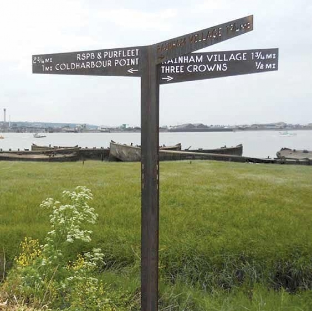
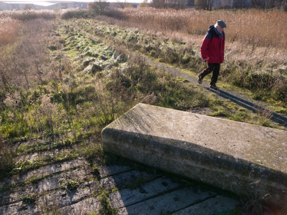
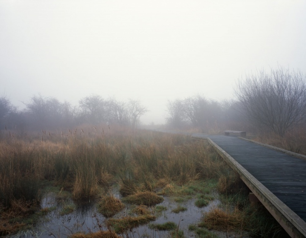
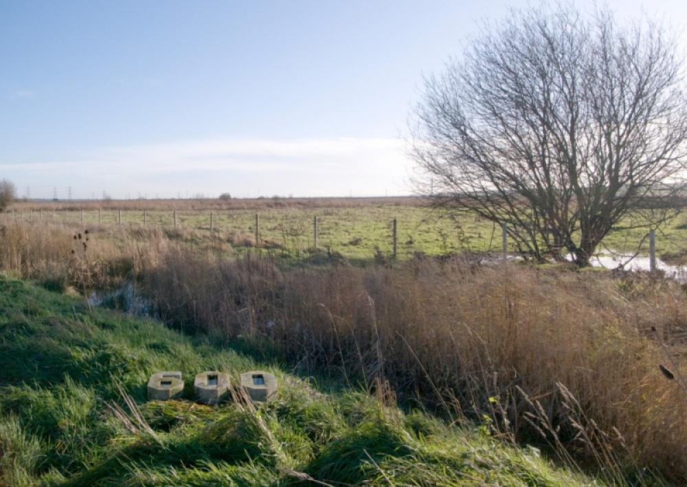
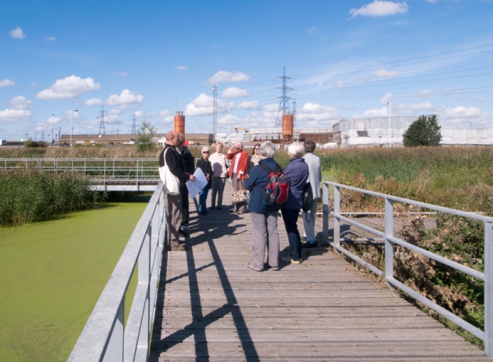
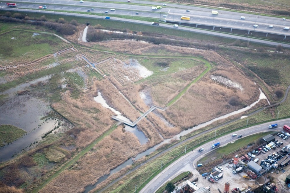
The area of the subsequent intervention covers 640 hectares. In the centre, earth was moved to fill an old rubbish tip and create a silt lagoon, while the wetlands have been left intact on both sides. On the western edge, crossed by six footbridges in weathering steel and connected with Rainham village by the Trackway Bridge, the land is once again used for grazing. To the east, near Purfleet, the landscape is mainly reed-beds with an RSPB bird-watching lookout. Several sculptural elements in Portland stone have been placed in different parts of the marshes, to be used as benches or to evoke the military past of the zone. Signs have also been introduced to orient visitors and protect areas that cannot be entered. Furthermore, there are new facilities for grazing in order to encourage the return of sheep and cattle to the old pasturelands.
Assessment
The opportunity of enjoying wild nature not far from the city has been embraced by a great number of people. Since they were opened up, the wetlands have become so popular that they have found a place in the collective imagination of Londoners. Some criticism has been voiced, however, about the introduction of excessively anthropic elements which have been installed with a view to orienting visitors and making their visit more comfortable and stimulating since it is feared they may distort the real experience of a truly wild landscape. It has also been noted that high levels of public access may irreversibly interfere with the delicate environmental balance of the place. The number of visitors and their possible environmental impact on the marshlands is therefore permanently monitored by means of strict control of a range of indicators. In any case, there can be no doubt that accessibility is also the necessary condition for people discovering, learning to love and protect marshlands which, otherwise, would not last long.
David Bravo │ Translation by Julie Wark
[Last update: 12/09/2023]